






Antiguos Maps Vintage Chicago Burnt District Map, Historical Wall Art Print, 1871 Great Fire Relief Fund Edition by R.P. Studley Company (16 x 24 inches)

 4.6 (73 items)
 Limited Time Sale
$13.18 cheaper than the new price!!
Free cash-on-delivery fees for purchases over $99
Product details
| Management number | 217956862 | Release Date | 2026/05/03 | List Price | $8.79 | Model Number | 217956862 | ||
|---|---|---|---|---|---|---|---|---|---|
| Category | |||||||||
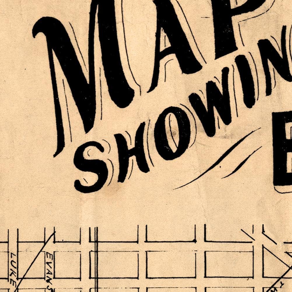
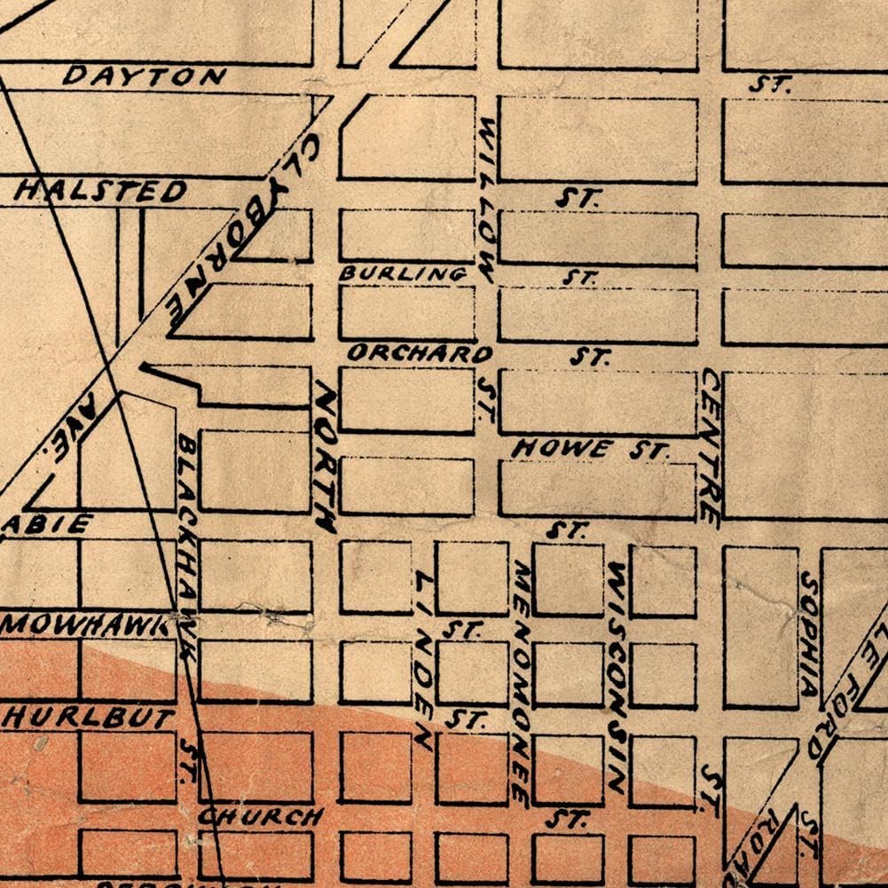
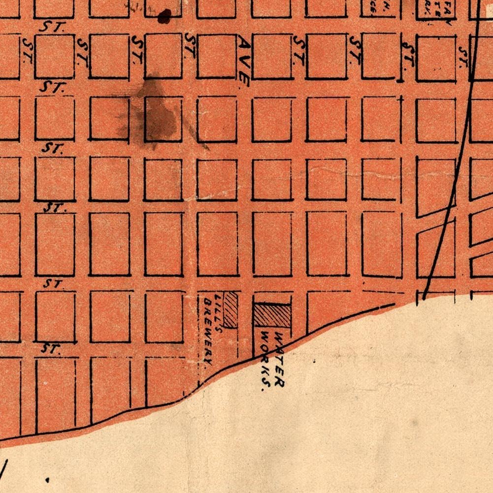
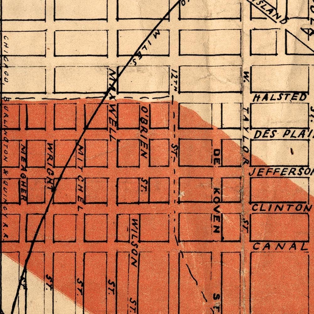
Made in USA | Giclee Reprint Expertly Sized | Fits Standard Frames Packaged with Care | Shipped Promptly Quality Materials | Satin PolyPro and Pigment Ink Step back in time with this remarkable historical map reprint depicting the burnt district of Chicago following the Great Fire of 1871. Published by the R.P. Studley Company of St. Louis for the Relief Fund's benefit, this vintage wall art print offers a striking visualization of one of America's most significant urban disasters. The map meticulously details Chicago's street grid, with the burnt areas highlighted in red, showcasing the extensive damage across the city. The stark contrast between affected and unaffected areas provides a powerful historical perspective of this pivotal moment in Chicago's history. The map's classic design features elegant typography and careful cartographic detail characteristic of the period. This reproduction maintains the historical authenticity of the original 3rd edition print, making it an excellent choice for history enthusiasts, collectors, or anyone seeking to add a meaningful piece of Chicago's past to their wall decor. Perfect for offices, libraries, study rooms, or any space where historical significance meets aesthetic appeal.
- HISTORICAL SIGNIFICANCE: Authentic map showing the burnt district of Chicago after the devastating Great Fire of 1871, published for the Relief Fund by R.P. Studley Company
- DETAILED VISUALIZATION: Red shading clearly highlights the extent of fire damage across Chicago's city grid, providing a stark visual record of the historic disaster
- VINTAGE DESIGN: Original 3rd edition map featuring classic typography and cartographic elements characteristic of 19th-century mapmaking
- WALL ART APPEAL: Perfect as a decorative piece showcasing significant Chicago history, ideal for homes, offices, or historical collections
- ARCHIVAL REPRODUCTION: High-quality print preserves the detailed street grid, geographical features, and historical annotations of the original map
| Size | 16 x 24 inches |
|---|---|
| Color | Multicolored |
| Brand Name | Antiguos Maps |
| Item Shape | Rectangular |
| Item Weight | 1 Ounces |
| Orientation | Landscape |
| Manufacturer | Carlson Brands |
| Paper Finish | Satin |
| Item Dimensions L x W | 36"L x 24"W |
Antifungals

Maps



Correction of product information
If you notice any omissions or errors in the product information on this page, please use the correction request form below.
Correction Request Form